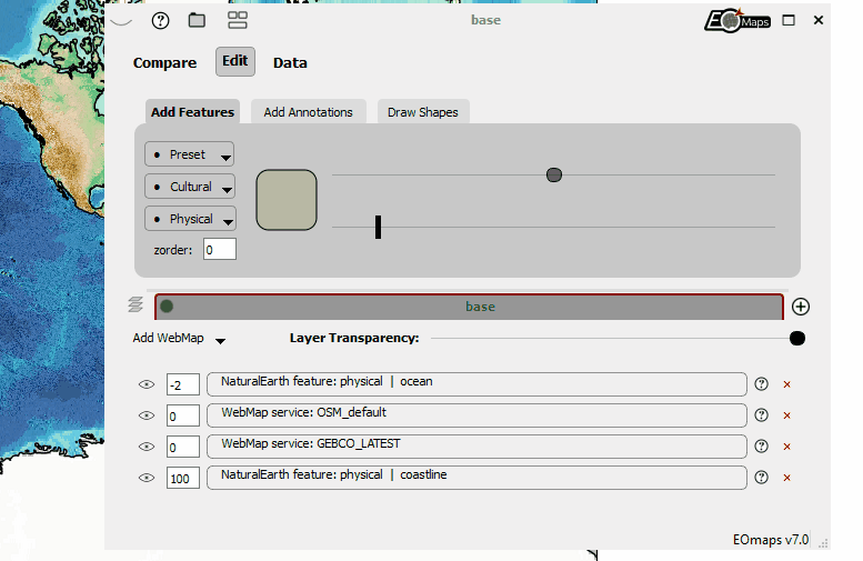
🧰 Companion Widget
EOmaps comes with an awesome companion widget that provides many useful features for interactive data analysis.
To activate the widget, press
Won the keyboard while the mouse is on top of the map you want to edit.If multiple maps are present in the figure, a green border indicates the map that is currently targeted by the widget.
Once the widget is initialized, pressing
Wwill show/hide the widget.
What are all those buttons and sliders for??
To get information on how the individual controls work, simply click on the  symbol in the top left corner of the widget!
This will activate help tooltips that explain the individual controls.
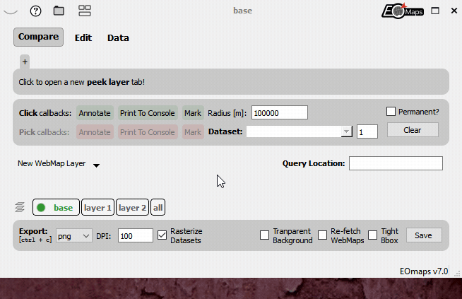
Setting figure export parameters on ctrl + c
Starting with EOmaps v7.0 it is possible to use ctrl + c to export a figure to the clipboard.
This export will always use the currently set export parameters in the Companion Widget!
Note
The companion-widget is written in PyQt5 and therefore only works when using
the matplotlib qt5agg backend (matplotlibs default if QT5 is installed)!
To manually set the backend, execute the following lines at the start of your script:
import matplotlib
matplotlib.use("qt5agg")
For more details, have a look at Configuring the editor (IDE).
Additional information on Features and WebMaps
Starting with EOmaps v7.1 the widget provides a new useful functionality to quickly access important information of Features and WebMaps that were used to create a map.
If there is additional information available for an artist of a map, a symbol will appear
next to the corresponding entry in the Edit tab that will open a popup window containing the following information:
Notes and infos on the features
Links to sources, references and licensing details (without warranty for correctness!)
The source code to reproduce the current appearance of the feature